


VTD-precinct 9, Walworth County, South Dakota
About
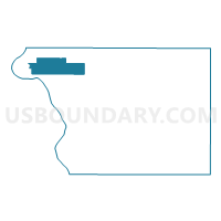
Outline

Summary
| Unique Area Identifier | 667853 |
| Name | VTD-precinct 9 |
| County | Walworth County |
| State | South Dakota |
| Area (square miles) | 25.69 |
| Land Area (square miles) | 25.59 |
| Water Area (square miles) | 0.10 |
| % of Land Area | 99.61 |
| % of Water Area | 0.39 |
| Latitude of the Internal Point | 45.54227010 |
| Longtitude of the Internal Point | -100.31609240 |
Maps


Graphs
Select a template below for downloading or customizing gragh for VTD-precinct 9, Walworth County, South Dakota


Neighbors
Neighoring Voting District (by Name) Neighboring Voting District on the Map
- VTD-precinct 10 Mobridge, Walworth County, SD
- VTD-precinct 17 Mobridge, Walworth County, SD
- VTD-precinct 18 Mobridge, Walworth County, SD
- VTD-precinct 4, Walworth County, SD
- VTD-precinct 5, Walworth County, SD
Top 10 Neighboring County Subdivision (by Population) Neighboring County Subdivision on the Map
- Mobridge city, Walworth County, SD (3,465)
- West Walworth UT, Walworth County, SD (674)
- Glenham town, Walworth County, SD (105)